Iron Mountain Road
Today’s Iron Mountain Road was the route the Mormons took as they headed east over the mountains in 1848. And it soon was followed by the great westward migration — becoming an important leg of the early Emigrant Trail as wagons rushed for Gold Country.
You may remember our earlier newsletter taking you as far as Leek Springs (here’s the short version: take Hwy 88 west and turn off at Mormon-Emigrant Trail, which is Iron Mountain Road. To read the complete earlier Leek Springs adventure, click  here!).
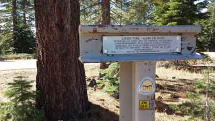
Once you get to Leek Springs, stop and set your odometer. Continue past Leek Springs another 2.5 miles to find another historic T-post marking the Emigrant Trail. The T-post itself is not easily visible from the road, so watch carefully for the pullout on your right.
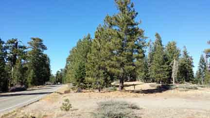
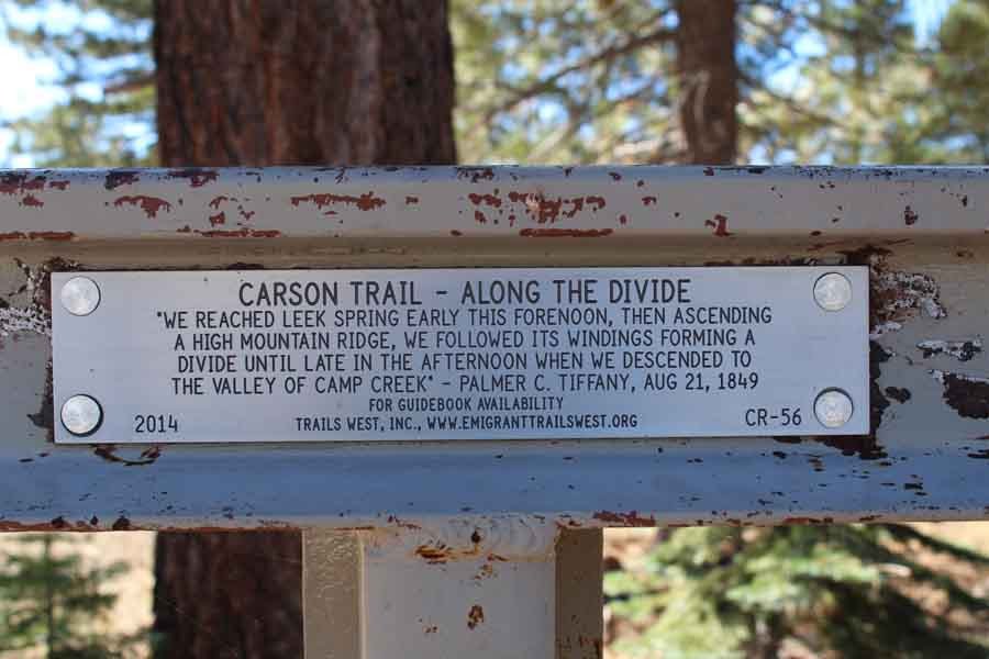
This Trail marker bears a great quote from an early emigrant named Tiffany, describing how the old route followed the ridge along the “divide.” That means that in many places the early Emigrant Trail stayed higher than today’s road. But its general path was roughly the same.
Keep an eye out as you travel the next few miles and you’ll see the old roadbed switching back and forth across the new one. At odometer reading 4.4 miles, for example, the Trail crosses from your right to left over the current paved roadway to follow the ridge. And at 4.6, it swings back again to the right.
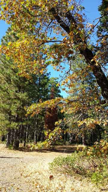
At 9.9 miles you’ll begin to see oak trees make an appearance. Westward-bound gold-seekers were happy to welcome this lower-elevation vegetation species, as they now were able to feed oak leaves to their hungry cattle.
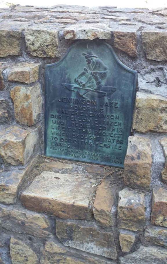
About 21.5 miles into your journey you’ll come to beautiful Jenkinson Lake. After crossing the second dam, watch for a beautiful green-patinaed historic plaque on your right, erected by the Pollock Pines Rotary.
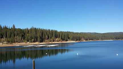
Here at the Lake, the Jenkinson Lake Sly Park Recreation Area offers a cool waterfall hike, and yes, dogs are allowed (for an extra fee!). For complete information about the park and great photos of the waterfall and the hiking trail, check out this description here. (Scroll down after the page opens.)
Before the lake was created by the dams, this area was a large stream-fed meadow. This made it a great spot for grazing, and the eastward-bound Mormon Battalion stopped here to camp for over a week in July, 1848, dubbing it “Sly Park” (after one of their members), for its “park-like” appearance. Here the anxious Mormons dispatched ten of their men to find the trail ahead and also to look for their three missing scouts (whose bodies they’d sadly find when they eventually reached Tragedy Spring). For a great summary of the history of Sly Park, including its prehistoric use by native Maidu and Miwok peoples and early local ranchers, read here.
As you continue the journey you’ll soon reach a stop sign where the road comes to a “T”. Re-set your odometer here and take left-hand road toward Pleasant Valley on Sly Park Road. In another 1.5 miles you’ll pass an Environmental Ed Center on your right; this is used to teach teachers about environmental issues. (For more information about the Center, see www.slyparkcenter.org).
If you have a bit of time, continue to enjoy this rural road as it winds its delightful way into Placerville! (A longer but much more scenic way to get there than the freeway!)
_________________________
Enjoyed this story? Leave us a comment below! And we’d love it if you share on Facebook!
Like to read more Sierra history stories like this, hot off the presses, just as soon as they come out? Sign up for our free newsletter at the top right of this page!
#Emigrant Trail #Amador County #History #road trip