Bringing Water to Virginia City in the 1870s Was No Easy Task
August 1, 1871 proved to be a magical day for Virginia City. Newspaperman Alf Doten noted in his diary: “[T]he water came through the new water works from the Sierra mountains this evening – 21 miles.”
It was a much-welcomed improvement for Comstock residents. Doten’s own water well had dried up two weeks earlier, and in the interim he’d been forced to haul water from American Flat. The new water works was hailed with understandable glee by VC residents: “[B]ig firing of cannon at Virginia, bonfires in street and all that sort of thing,” Doten wrote.
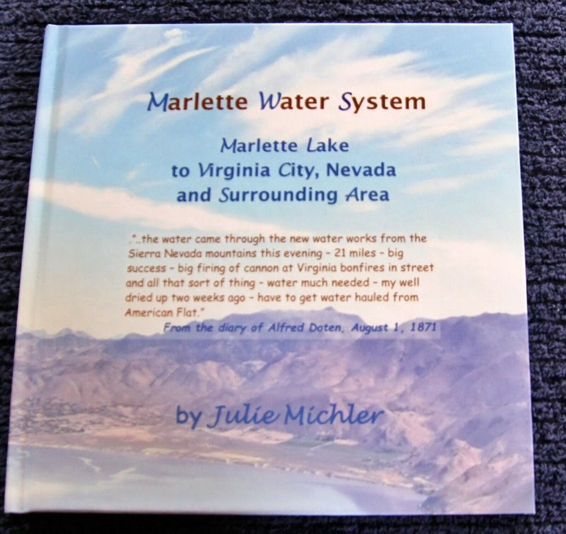
I confess, it never occurred to me to wonder about the source of water flowing from Virginia City taps. But it’s a fascinating story – one I learned more about thanks to a recently-released book by my friend Julie Michler. Called “Marlette Water System: Marlette Lake to Virginia City, NV and Surrounding Areas,” this full-color photo book traces the entire length of this historic water system, including then-and-now photos of sites along the way.

The water that Alf Doten was so excited to see in 1871 marked only the beginning of the improvements that would serve the Comstock. Two earlier water companies had already been formed in the 1860s: the Virginia Water Co. and the Gold Hill Water Co. These collected water from prospecting tunnels and fed that flow into wooden tanks, then through wooden pipes into town. Surprisingly, the water leached from the tunnels was pure enough to drink. So this worked well enough for a time.
But by the early 1870s, population and mining growth meant more water was needed. A drought wasn’t helping matters. The water companies began searching for other water sources they could tap. The new and improved water flow Doten noted in 1871 was courtesy of several flumes, pipelines and an inverted siphon from the nearby mountains. But soon even that wasn’t enough. Officials were forced to look farther afield for water to serve the Comstock’s needs.
Between 1872-73, they dammed Hobart Creek (in the mountains west of Virginia City), constructed a reservoir, and built a flume-and-pipeline system to ferry Hobart water to the thirsty Comstock. This was no small undertaking. Designed by Hermann Schussler, the initial pipeline spanned more than 21 miles, taking the water through Washoe Valley and up to Five Mile Reservoir. Amazingly, it was completed by men and mules in a mere six weeks. Schussler’s pipeline design featured an inverted siphon to carry water across valleys in the terrain. The pipe, which had to sustain pressures of up to 800 pounds per square inch, was the highest inverted-siphon pipeline in the world at the time.
The ambitious Hobart project proved a huge success, serving not only Virginia City, Gold Hill, and Silver City, but also (to a smaller extent) Carson City. But soon even more water was needed.

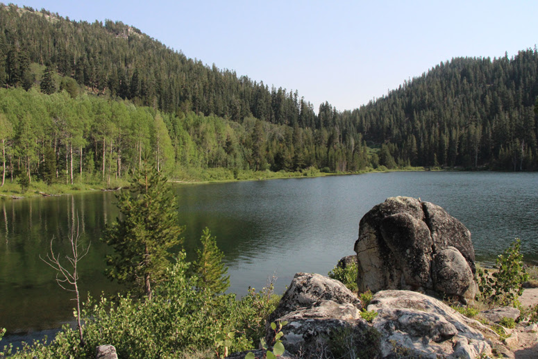
Between 1875 and 1877, the system was extended farther west to the much larger body of water known as Marlette Lake (a man-made lake created in 1868 for logging purposes, named after Nevada’s first Surveyor General, Seneca H. Marlette). A separate flume with its own inclined tunnel fed additional water into the existing pipeline system. Caretakers’ houses were also built in the 1870s at crucial spots along the pipeline route. And in 1887 a long, circuitous flume was built, also using Marlette water, to ferry timber down the mountain to the railroad terminal at Lakeview for its final journey to Virginia City. Wood sent down the flume was already pre-cut, as there was no sawmill at Lakeview.
The water system serving Virginia City and nearby towns hands changed hands – and names – at least four times. In 1957 it became Marlette Water Company, the name we know it by today. The water system was purchased by the State of Nevada in June, 1963 for $1.65 million dollars. And it’s still bringing water to the Comstock: some 76 million gallons in 2020 alone.
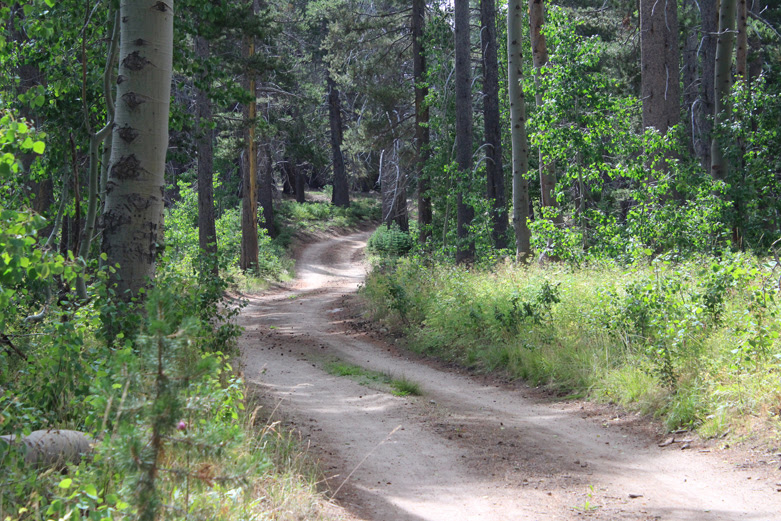
It’s an amazing water project, with its system of reservoirs holding nearly four million gallons of water. But thanks to the rugged terrain, few people ever get a chance to see the system up close. Marlette Lake itself is accessible only by horseback, bicycle or on foot.

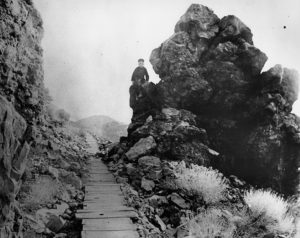
Photographer Julie Michler has documented every bit of the Marlette system through the back country from one end to the other in her beautiful photo book. The result is a virtual tour of the system from its origin at Marlette Lake to its terminus at the Comstock. High-quality color photos show the Incline Tunnel, the Diversion Dam near Hobart Reservoir, the ‘Saddle’ at Lakeview, and the Five Mile Reservoir above the Comstock. She’s also included my favorite — historic black-and-white photos, including the water master’s house at Lakeview, built in 1873; old metal-wrapped wooden tanks at Lakeview; and the caretaker’s house at Marlette Dam.
A freelance photographer and historian, Julie has been documenting historic sites in Nevada and California since she got her first SLR camera in 1972. Her new book, “Marlette Water System” is available on eBay. (Here is the current listing, or if that expires, just search for the book name.)

